There was America before the Interstate, and America after it.
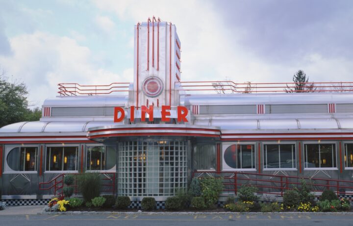
Before it, a long-distance journey meant following roads that passed through the country rather than around it. Highways became main streets. Main streets became bottlenecks. Trucks, tourists and families on holiday rolled through town centres, stopped at diners, slept in motels and bought fuel from businesses whose location could be as valuable as anything they sold.
Then America built a new road system.
It was faster, wider and remarkably ambitious. It connected cities on a scale the country had never attempted before and helped turn driving across the United States from an expedition into something approaching routine.
But it also changed the map around itself.
Towns were bypassed. Suburbs spread. Businesses moved towards interchanges. Neighbourhoods disappeared beneath concrete. New roadside industries flourished while old ones suddenly found themselves standing beside roads fewer people needed to use.
The Interstate Highway System did more than change how Americans travelled.
It changed America.
The idea was older than Eisenhower
President Dwight D. Eisenhower’s name is now inseparable from the Interstate system, but he did not invent it.
Federal officials had been considering a national network of high-standard roads well before he reached the White House.
In 1939, a federal study examined the case for a national system of express highways. Congress authorised a National System of Interstate Highways in 1944, and the first 37,700 miles were designated three years later.
What was missing was the money to build it.
Eisenhower nevertheless brought some unusually relevant experience to the argument.
As a young Army officer in 1919, he joined the first transcontinental military convoy, a journey from Washington, DC, to San Francisco that exposed just how difficult moving men and machinery across the country could be.
Decades later, he saw Germany’s autobahns during and after the Second World War.
By the 1950s, the United States also had a more immediate problem.
Americans were buying cars at extraordinary speed. Vehicle registrations climbed rapidly after the war, while growing cities struggled with congestion and metropolitan areas pushed farther outwards.
The old road network was being asked to serve a country that was rapidly outgrowing it.
The act that changed the road
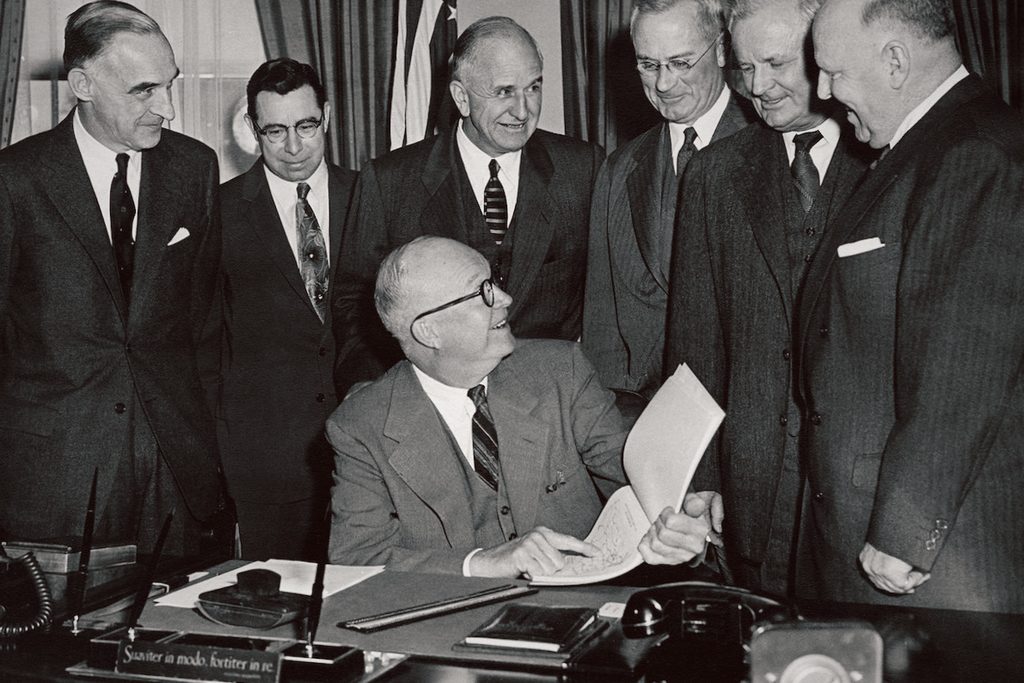
The breakthrough came on June 29, 1956.
Eisenhower signed the Federal-Aid Highway Act, authorising a 41,000-mile Interstate network and, crucially, putting in place the financial machinery needed to actually build it.
The federal government would generally meet 90 per cent of construction costs, with the states paying the remaining 10 per cent. A new Highway Trust Fund, supported principally by taxes paid by road users, provided a dedicated source of money.
It was an enormous national undertaking.
Construction moved quickly.
By the time Eisenhower left office in January 1961, 10,440 miles of Interstate were open to traffic.
The roads themselves were different from the highways Americans knew.
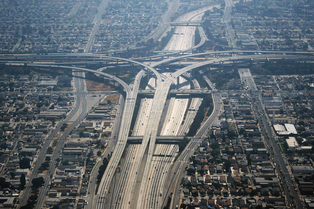
Access was controlled. Intersections disappeared. Opposing traffic was separated. Instead of entering every town along the route, motorists could stay on the highway and keep moving.
That was precisely the point.
It was also the beginning of the consequences.
America moved towards the exits
The Interstate made enormous distances feel smaller.
Freight could move more efficiently between cities. Families could travel farther in a day. Tourism changed as destinations previously separated by slow two-lane roads became straightforward drives.
But the new network also changed the economics of being beside the road.
Traffic that once flowed through the middle of a town could suddenly pass several miles away. A motel, diner or gas station that had occupied prime highway frontage could find itself beside yesterday’s highway almost overnight.
The businesses serving motorists followed the traffic.
Gas stations, motels and restaurants increasingly clustered around Interstate interchanges. Eventually came the familiar landscape of chain hotels, truck stops, fast-food signs and travel plazas that now announces an American highway exit long before the ramp arrives.
The pattern played out particularly visibly along old US highways. Route 66 communities watched through-traffic migrate onto new Interstates built beside or over sections of the old road. Some businesses moved closer to the ramps. Others adapted to local trade or tourism. Others simply disappeared.
For some communities, being bypassed meant relief from trucks and endless through-traffic.
For others, it removed the stream of customers on which roadside businesses had been built.
The old highway did not necessarily disappear.
Its importance did.
That distinction explains much of the America USA By Road is interested in today: former main highways, surviving neon signs, abandoned service stations and roadside attractions built for traffic patterns that no longer exist.
The road helped move the city too
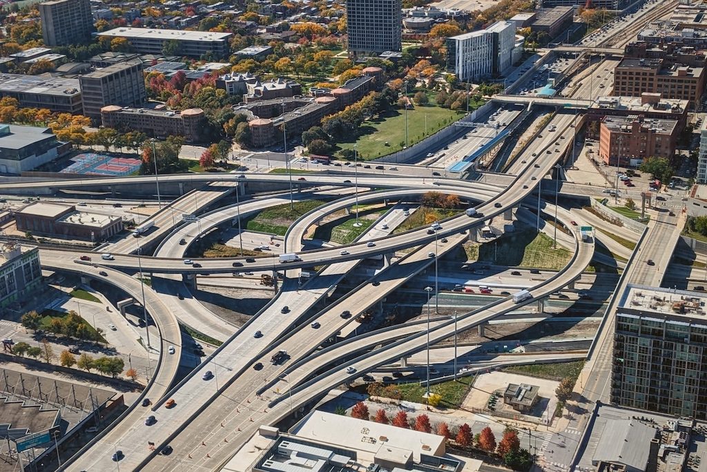
The transformation was not confined to towns along old highways.
America’s postwar suburbs were already expanding for reasons much larger than the Interstate system: rising car ownership, housing construction, federal policy, population growth and changing patterns of work and consumption all played roles.
But the new highways helped make a more dispersed metropolitan America practical.
Fast roads allowed commuters to live farther from traditional downtowns. Businesses, shopping centres, warehouses and employment followed population towards the metropolitan fringe. Interchanges that had once stood amid relatively undeveloped land could become centres of commercial activity in their own right.
The Interstate did not create suburbia.
It helped give suburbia a road system built for its scale.
The transformation came at a price
Inside cities, that same road-building program could be devastating.
Early highway planners argued urban expressways would reduce congestion and improve transportation through increasingly crowded cities. Building them, however, often meant demolishing homes and businesses and dividing established neighbourhoods.
The burden was not evenly distributed.
Federal Highway Administration histories document cases in cities including Miami, Nashville, St Paul, New Orleans, Chicago and Camden where highway construction displaced or divided predominantly Black and lower-income communities.
In Miami, I-95 was routed through Overtown, destroying large amounts of housing and disrupting what had been a major commercial and cultural centre of Black Miami.
In St Paul, construction of I-94 through the Rondo neighbourhood displaced or destroyed more than 700 homes and 300 businesses.
Resistance grew as communities saw what proposed urban freeways could mean on the ground.
San Francisco became one of the most famous battlegrounds. Public opposition helped stop much of the city’s proposed freeway network amid concerns about neighbourhood destruction, displacement and the effect of elevated roads on the city itself.
The road system connecting America was also capable of cutting communities apart.
The country it created
The Interstate system today extends for almost 47,000 miles.
Its success is so complete that it can be difficult to imagine the country without it.
Interstates became the default way to cross states and cities. They reshaped freight, tourism and commuting. Their interchanges attracted hotels, restaurants, warehouses and shopping centres. Their numbers became part of the American vocabulary.
And the older roads were left with a different job.
Route 66 is perhaps the most famous example. Once a major route west, it was gradually superseded by Interstate highways and finally removed from the US Highway System in 1985.
Yet that is also why travelling the old roads can reveal something the Interstate cannot.
The Interstate shows how efficiently America can be crossed.
The roads it replaced show what America used to stop for.